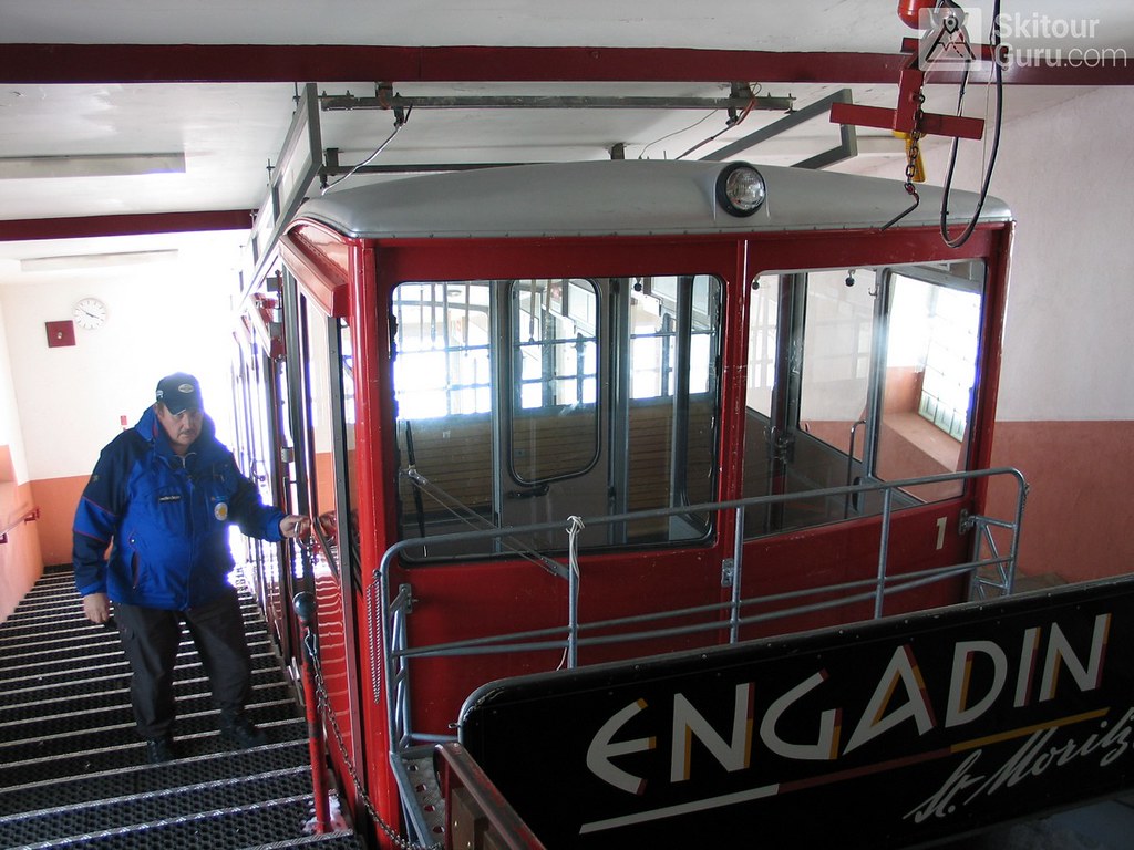
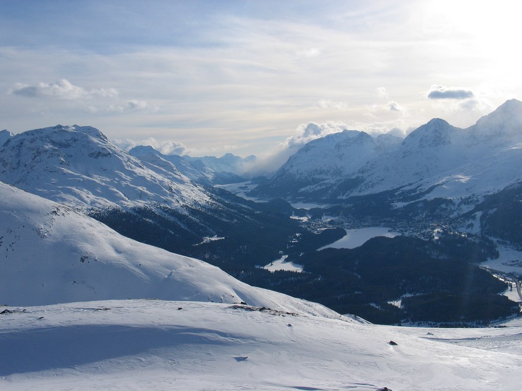
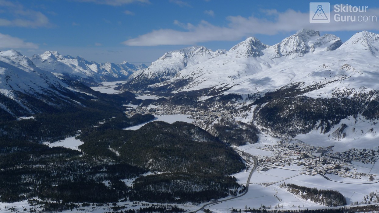
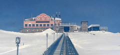
Muottas Muragl is a mountain hotel with a wonderful view of the mountains of the Bernina massif, St. Moritz and several lakes. A rack railway leads to the hotel, normally open until the end of March. From the hotel there is a great ski tour to the panoramic summit of Piz Muragl with a long descent to the Punt Muragl, lower station of the train. Who wants to try a relaxed freeride ... through the Val Champagna valley to the airport of Samedan.
Tours starting from hut
Ski tours around Hut Muottas Muragl - Romantik Hotel
-
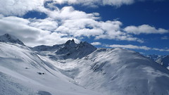
Piz Muragl 3156 m
Muottas Muragl - Romantik Hotel Albula Alps Switzerland
- Length of ascent6 km
- ascent780 m
- duration4,5,5 h
- Fitness difficulty ♦♦◊◊
- Technical difficulty ♦♦◊◊
Piz Muragl je dokonalá vyhlídková hora. Výstup ulehčí zubačka na Muottas Muragl a příjemný sjezd dovede lyžaře na parkoviště u vláčku. Perfektní výhledy na velikány masivu Bernina i kaskádu jezer kolem St. Moritz. Technicky nenáročná túra.

- Country
- Switzerland
- Montains
- Albula Alps
- Open (winter)
- mid December - end March
- Beds
- 38
- Winterraum
- no
- Shortening of access (cableway, lift, taxi, snowcat...)
- yes, by train Punt Muragl - Muottas Muragl
- Luggage transport
- yes, by train
- Card Pay
- yes
- Shower
- yes
- Wifi
- yes
- UTM / CH1903 x ("longitude" E/W)
- 788993
- UTM / CH1903 y ("latitude" N/S)
- 155246
- Map
- 1257 St. Moritz, Swisstopo 1:25000 S268 Julierpass, Swisstopo 1:50000 2521 St. Moritz-Bernina, Swisstopo 1:25000
- Guides
- Graubünden Süd / SAC-CAS.ch, deutsch Die klassischen Skitouren / SAC-CAS.ch, deutsch Les classiques de randonnée à ski / SAC-CAS.ch, francais
- find current conditions and experiences on the spot
- gipfelbuch.ch
- Phone (hut)
- +41 81 842 82 32
- Phone (valley)
- info@muottasmuragl.ch
- Cell phone
- -
- Mobile Signal
- yes
- Web
- muottasmuragl.ch
- info@muottasmuragl.ch
- Owner of hut
- Engadin Bergbahnen
- Romantik Hotel Muottas Muragl
- Reservation
- phone, e-mail, online
- Online reservation
- muottasmuragl.ch
- Avalanche danger
- slf.ch - Institut für Schnee- und Lawinenforschung
- Weather
- Muottas Muragl / meteoblue.com Muottas Muragl / srf.ch Pontresina / snow-forecast.com Muottas Muragl / mountain-forecast.com Piz Vadret 3199m / mountain-forecast.com Piz Chalchgn 3154m / mountain-forecast.com Piz Surlej 3188m/ mountain-forecast.com Piz Palü 3889m / meteoblue.com Piz Argient 3945m/ mountain-forecast.com Muottas Muragl / kachelmannwetter.com St. Moritz / wetter.com Switzerland - animation / srf.ch Alpenvereinswetter
- Snow report
- Pontresina / snow-forecast.com Diavolezza - Pontresina / onthesnow.com Muottas Muragl / bergfex.ch St. Moritz / snow.myswitzerland.com
- Webcams
- All webcams around St. Moritz Muottas Muragl
- Region
- Graubünden Engadin St. Moritz Pontresina
- Public traffic
- SBB Railway Postauto.ch - bus
- Skiresort nearby
- St. Moritz - Corviglia - Corvatsch - Diavolezza
- Other links
- Switzerland Tourism
hut Muottas Muragl - Romantik Hotel - Reviews
There are no reviews in this section yet. Click the Add Review button to add first review.
Best ski tours in mountains Albula Alps, Switzerland
-

Isenfürggli 2765 m
Davos Albula Alps Switzerland
- Length of ascent3 km
- ascent845 m
- duration2,5-3,5 h
- Fitness difficulty ♦♦◊◊
- Technical difficulty ♦♦◊◊
The ascent to the Isenfürggli saddle is a worthwhile addition after successful descents from Pischahorn or Isentällispitz. Especially in firn conditions or fresh powder, it is a rewarding destination. From the saddle, there is a beautiful view of the Silvretta range, with the striking Piz Linard as its centerpiece.

-

Piz Kesch - Chamanna Kesch 3417 m
Keschhütte / Chamanna digl Kesch Albula Alps Switzerland
- Length of ascent4,5 km
- ascent845 m
- duration4,5-6 h
- Fitness difficulty ♦♦◊◊
- Technical difficulty ♦♦♦◊
Piz Kesch is a well-known mountain in the Albula Alps region, Piz Kesch clearly falls on the surrounding mountains. The view of Kesch can be enjoyed from Bernina, Muragl and other peaks. The ascent to the ski depot is easy. You go on / climb with an ice axe and crampons. The exposed terrain in places, the difficulty depends on the current snow conditions. Rope protection is usually not necessary. A perfect panoramic view from above.

-

Isentällispitz 2985 m
Davos Albula Alps Switzerland
- Length of ascent4 km
- ascent1050 m
- duration3-4,5 h
- Fitness difficulty ♦♦◊◊
- Technical difficulty ♦♦◊◊
Isentällispitz is another enjoyable ski tour starting in the Flüelatal valley. From the Tschuggen parking lot, ascend over wide slopes to the saddle, where the ski depot is located. From there, continue with crampons to the panoramic summit. The descent follows the ascent route.

Best ski tours in Switzerland by skitour.guru
-

Diechterhorn (day 3, h.r. Swiss Glacier) 3389 m
Trifthütte Urner Alps Switzerland
- Length of ascent12 km
- ascent2100 m
- duration10-12 h
- Fitness difficulty ♦♦♦♦
- Technical difficulty ♦♦♦♦
Hiking on top of fantastic lookout tower. Glacier skitour. At the end, you will reach the summit from the north, to the top of the climbing terrain. Next continue to the Diechterlimi saddle and from there a fantastic downhill run to Gelmerhütte and then to the Gelmersee dam. If the lake is not frozen, the route along the northern bank can be very challenging, depending on the snow conditions. After crossing the dam, is coming downhill, often very complicated, traversing western slope to the Grimselpass road. After that, a bit on the parking lot under the Räterichsboden dam and at first a steep traverse to Bächlihütte - a hut on the top.

-

Blanc de Moming - Dôme Circuit 3649 m
Cabane du Mountet Walliser Alpen / Alpes valaisannes Switzerland
- Length of ascent10 km
- ascent2035 m
- duration9-11 h
- Fitness difficulty ♦♦♦♦
- Technical difficulty ♦♦♦♦
Blanc de Moming - Dôme is a beautiful but also very demanding complex ski tour. First ascent from Cabane Mountet to La Forcle saddle and then not very easy descent and then ascent along the Glacier du Besso. At the end of the glacier there is an uncomfortable border between snow and rock. Climb a rocky slope. First along a flat ridge, which is increasingly exposed. It is recommended to belay in windy weather. At the beginning of the spectacular descent along the Glacier de Moming, pay attention to the gigantic cracks. The departure line (keep left) turns from the northern to the western slope. After reaching the valley there is an easy ascent along the Glacier de Zinal back to Cabane Mountet.

-
Mönch 4107 m
Mönchsjochhütte Berner Alpen / Alpes bernoises Switzerland
- Length of ascent2 km
- ascent525 m
- duration2,5-4 h
- Fitness difficulty ♦♦◊◊
- Technical difficulty ♦♦♦♦
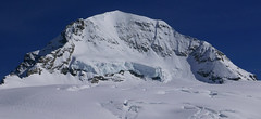
Túra na impozantní Mnich (Mönch) je v podstatě dlouhou hřebenovkou v mačkách a s cepínem. S rostoucí výškou roste obtížnost. S úbytkem ledovcového příkrovu roste expozice. Pokud nejste horský vůdce, nepoužívejte techniku krátkého lana. V závěrečném úseku je každá chyba nevratná. Výstup přináší fantastický zážitek se spoustou výhledů na nádherný svět ledovců.


 Česky
Česky Deutsch


