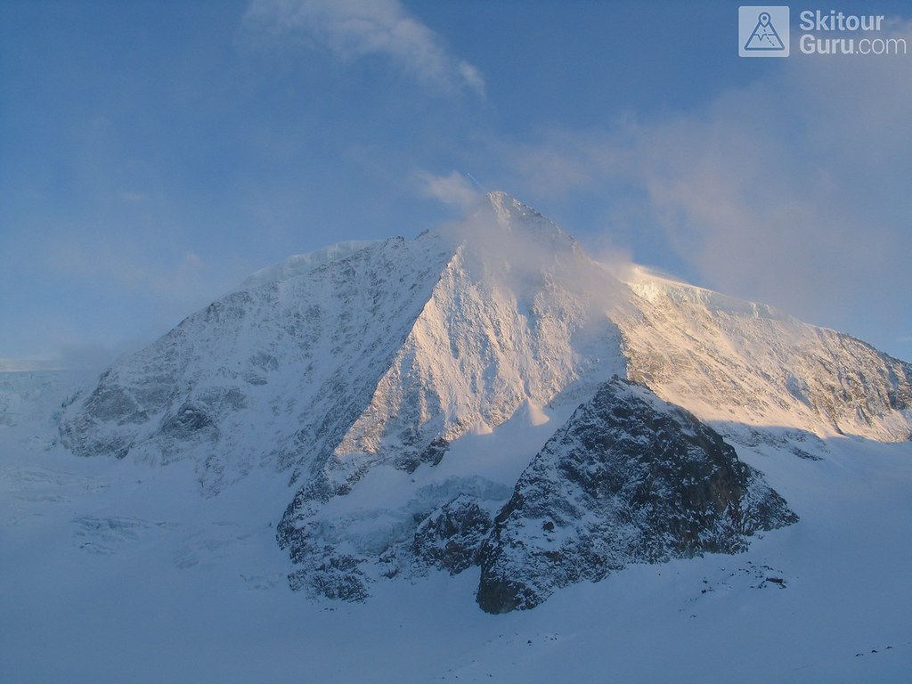
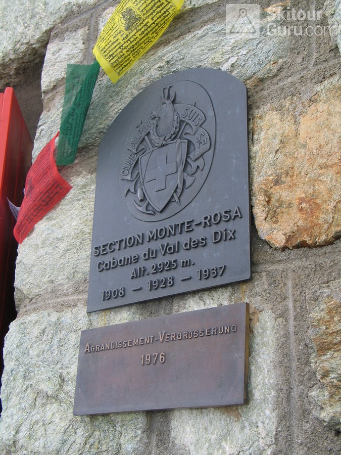
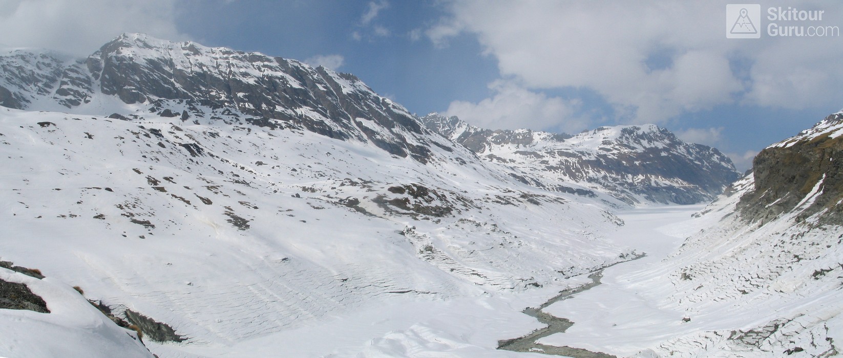
The Cabane des Dix is mountain hut located above the Dix dam under the walls and glaciers of the Valais Alps. Very popular hut, accessible from Arolla. Cabane Dix is located on the Haute Route Verbiér-Zermatt. The ski tours lead to La Luette and Mont Blanc Cheilon. The highlight is the ascent to the Pigne Arolla and the descent to the Cabane Vignettes. Reservations are required on time.
Tours starting from hut
Ski tours around Hut Cabane des Dix
-

Pigne d´Arolla 3790 m
Cabane des Dix Walliser Alpen / Alpes valaisannes Switzerland
- Length of ascent6 km
- ascent1000 m
- duration5-7,5 h
- Fitness difficulty ♦♦◊◊
- Technical difficulty ♦♦♦◊
Pigne d´Arolla is a very popular and easily accessible viewpoint. The ski tour to the summit leads from the three mountain huts - Cabane Dix, Cabane Vignettes and Cabane Chanrion. The route from Dix goes around the glacial seracs to the saddle Col de la Serpentine and the summit can be reached on skis. A worthwhile summit on the Haute Routes to Zermatt.

-

La Luette 3547 m
Cabane des Dix Walliser Alpen / Alpes valaisannes Switzerland
- Length of ascent3 km
- ascent710 m
- duration1,5-3 h
- Fitness difficulty ♦♦◊◊
- Technical difficulty ♦♦◊◊
La Luette je vděčná túra z chaty Cabane Dix. Po mírném svahu na ledovec Glacier de la Luette a v závěru po hřebenu na vrchol. Pouhých 500 výškových metrů od chaty může být lákadlem pro odpolední túru poté, když dorazíte brzo na chatu Dix.

- Country
- Switzerland
- Montains
- Walliser Alpen / Alpes valaisannes
- Open (winter)
- mid March - mid May
- Beds
- 115
- Winterraum
- yes, 15 beds
- Shortening of access (cableway, lift, taxi, snowcat...)
- no
- Luggage transport
- no
- Card Pay
- yes
- Shower
- no
- Wifi
- no
- UTM / CH1903 x ("longitude" E/W)
- 598380
- UTM / CH1903 y ("latitude" N/S)
- 95500
- GPX access to hut (waipoints, track)
- DixCabane_access_Arolla.gpx
- GPX access to hut (track only)
- Dix-Hut_all_access_TRK.gpx
- Map
- Arolla 283 S, Swisstopo 1:50000 Chanrion 1346, Swisstopo 1:25000
- Guides
- Ski de randonnée Bas-Valais Die klassischen Skitouren (SAC, deutsch) Les classiques de randonnée à ski (SAC, francais) Walliser Alpen (Rother, deutsch)
- Phone (hut)
- +41 27 281 15 23
- Phone (valley)
- +41 79 197 31 14
- Cell phone
- -
- Mobile Signal
- no
- Web
- cabanedesdix.com
- info@cabanedesdix.ch
- Owner of hut
- SAC Monte Rosa
- Cabane des Dix
- Reservation
- online former
- Online reservation
- alpsonline.org
- Start Point
- Arolla
- UTM / CH1903 x ("longitude" E/W)
- 603324
- UTM / CH1903 y ("latitude" N/S)
- 96838
- Altitude
- 2008 m
- Ascent (height difference)
- 1180 m
- Time of Access
- 4-5 h
- Shortening lift
- no
- Avalanche danger
- www.slf.ch
- Weather
- SRF Meteo Meteoschweiz Arolla, snow-forecast.com La Luette, mountain-forecast.com Pigne Arolla, mountain-forecast.com La Ruinette, mountain-forecast.com Fenétre Cassorte, mountain-forecast.com Arolla, yr.no
- Snow report
- Arolla, snow-forecast.com Arolla, bergfex.ch Arolla, onthesnow.com skiresort.info snow.myswitzerland.com/
- Webcams
- Mont Fort 3300 m (Verbier) Arolla
- Region
- Val d´Hérens Wallis.ch
- Public traffic
- train SBB Bus - Postauto.ch
- Skiresort nearby
- Arolla Verbier
- Other links
- Swiss Tourism
hut Cabane des Dix - Reviews
There are no reviews in this section yet. Click the Add Review button to add first review.
Best ski tours in mountains Walliser Alpen / Alpes valaisannes, Switzerland
-

Breithorn - Zermatt 4164 m
Monte Rosa Hütte Walliser Alpen / Alpes valaisannes Switzerland
- Length of ascent3 km
- ascent440 m
- duration3-4 h
- Fitness difficulty ♦♦♦◊
- Technical difficulty ♦♦♦◊
Breithorn can be rated as the lightest 4000 in the Alps. In any case, thanks to the support of the Klein Matterhorn cable car, which transports ski mountaineers up to 3880 m. From the cable car station (beautiful viewpoint) to the glacier plain below the summit, which can be often reached on skis. In good conditions, it is worthwhile to continue to the Schwarztor saddle and drive descent back to Zermatt. The second variant of the freeride is the descent from the Unterer Theodulgletscher. This descent is simply great up to Seehöre 2400.

-

Col Valpelline, Day 6 H.R. Chamonix-Zermatt 3551 m
Cabane des Vignettes Walliser Alpen / Alpes valaisannes Switzerland
- Length of ascent9 km
- ascent1485 m
- duration8-10 h
- Fitness difficulty ♦♦♦◊
- Technical difficulty ♦♦♦◊
The last stage of the Haute Route Chamonix - Zermatt is an ode to skiing. After an easy ascent to three saddles - Col de Eveque, Col du Mont Brulé and Col Valpelline. Every ski mountaineer will be amazed by the panorama of the impressive 4000m peaks - Dent Blanche, Matterhorn and Dent d´Hérens. This is followed by a 10 km descent to Zermatt.

-

Tour du Ciel - day 2 3404 m
Schönbielhütte Walliser Alpen / Alpes valaisannes Switzerland
- Length of ascent5 km
- ascent1190 m
- duration5-7 h
- Fitness difficulty ♦♦♦◊
- Technical difficulty ♦♦♦◊
Tour du Ciel (known as the reverse direction of the Haute Route Impériale) begins with the first real stage from the Schönbiel Hut, featuring a descent along the edge of the moraine. This is followed by a long, steep climb over glacier seracs, ideally tackled in the early morning. The subsequent ascent over the Hohlwäng Glacier to the Col Durand (3404 m) is then straightforward. An alternative is to turn right before the pass and climb Mont Durand. From the pass, descend over the Glacier Durand, followed by a short climb to the Cabane Mountet.

Best ski tours in Switzerland by skitour.guru
-

Chli Bielenhorn 2940 m
Andermatt - Realp - Oberalppass Urner Alps Switzerland
- Length of ascent8,5 km
- ascent1450 m
- duration5-6,5 h
- Fitness difficulty ♦♦♦◊
- Technical difficulty ♦♦◊◊
Chli Bielenhorn je skalnatá špička v říši monumentálních žulových stěn divokých hor. Začátek kolem silnice na Furkapass pokračuje po pláni pod chatou Albert-Heim-Hütte. Pak přichází v sousedství pohled na ledovce monumentálního Dammastocku. V kulisách skal vede logická linie ke skidepu kousek pod vrcholem. V případě stabilního sněhu je fajn alternativou sjezdová linie jižně od výstupové stopy a dále členitým terénem k hotelu Tiefenbach a v okolí silnice nebo po ní zpět do Realpu.

-

Pazolastock - Piz Badus 2928 m
Andermatt - Realp - Oberalppass Urner Alps Switzerland
- Length of ascent6 km
- ascent1370 m
- duration4-6 h
- Fitness difficulty ♦♦◊◊
- Technical difficulty ♦♦◊◊
Vyhlídková, poměrně jednoduchá túra po hřebeni na Piz Badus přes Pazolastock. Na start túry je snadná cesta vlakem z Andermattu. Pozor na laviny při traverzu Pazolastocku. První sjezd je lehký a bezpečný. Logická výstupová linie přes hřeben pod Piz Badus. Na vrchol v mačkách nebo na lyžích, podle podmínek. Letecký pohled na Andermatt. Při sjezdu z Piz Badus pozor na strmý úsek za jezerem. Po nalepení pásů závěrečných 100 výškových metrů do sedla Oberalppass k vlaku (jezdí každou hodinu).

-

Piz Kesch - Chamanna Kesch 3417 m
Keschhütte / Chamanna digl Kesch Albula Alps Switzerland
- Length of ascent4,5 km
- ascent845 m
- duration4,5-6 h
- Fitness difficulty ♦♦◊◊
- Technical difficulty ♦♦♦◊
Piz Kesch is a well-known mountain in the Albula Alps region, Piz Kesch clearly falls on the surrounding mountains. The view of Kesch can be enjoyed from Bernina, Muragl and other peaks. The ascent to the ski depot is easy. You go on / climb with an ice axe and crampons. The exposed terrain in places, the difficulty depends on the current snow conditions. Rope protection is usually not necessary. A perfect panoramic view from above.


 Česky
Česky Deutsch


